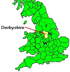
DERBYSHIRE
Surrounding counties are Yorkshire, Nottinghamshire, Leicestershire,
Worcestershire, Staffordshire and Cheshire. Capital city is Derby.
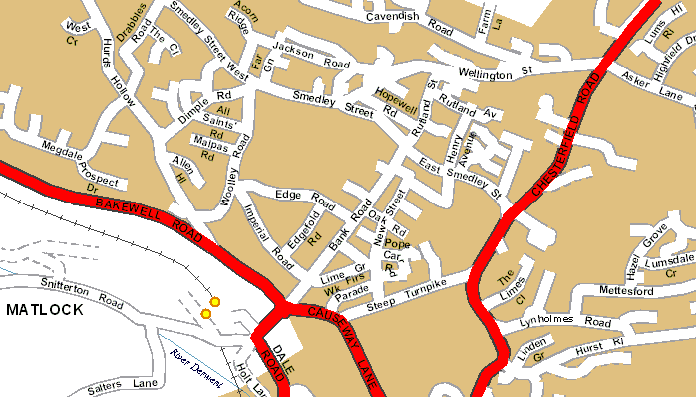
Major places are Chesterfield, Long Eaton, Ilkeston, Buxton, Glossop,
Matlock. Ripley, Alfreton, Bolsover and Dronfield. Derbyshire contains
327 parishes.
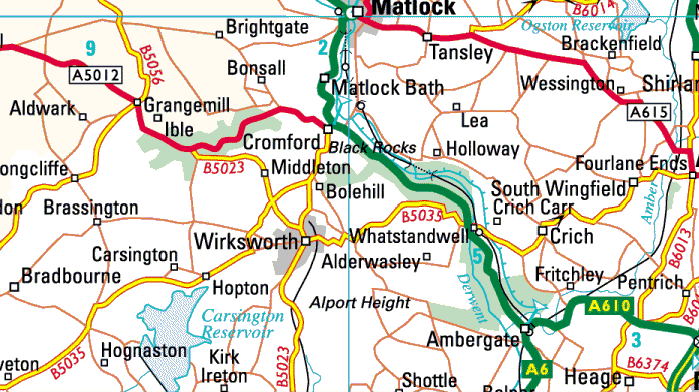
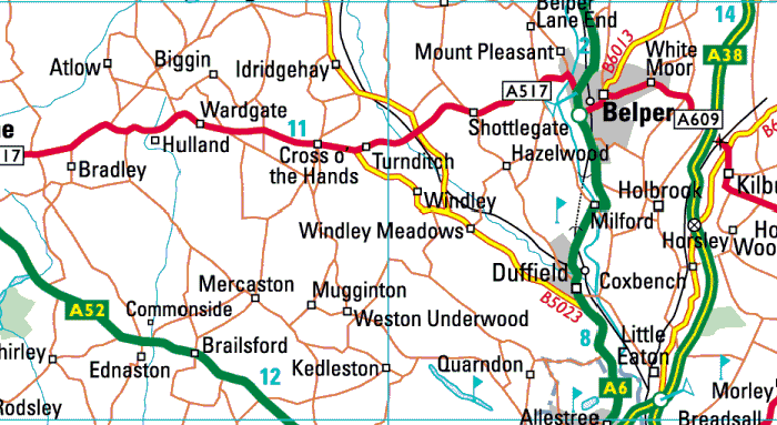
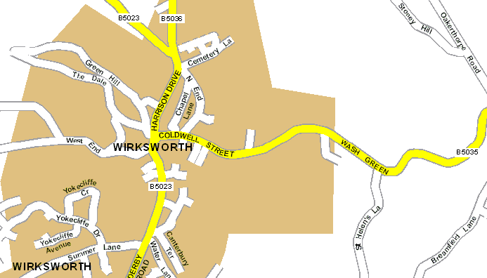
WIRKSWORTH
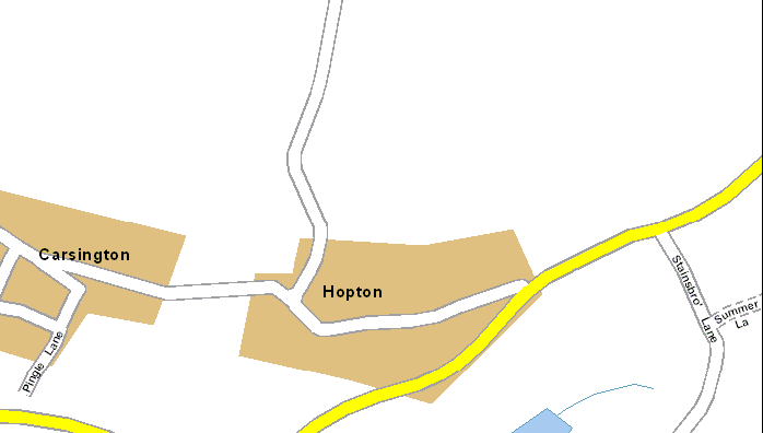
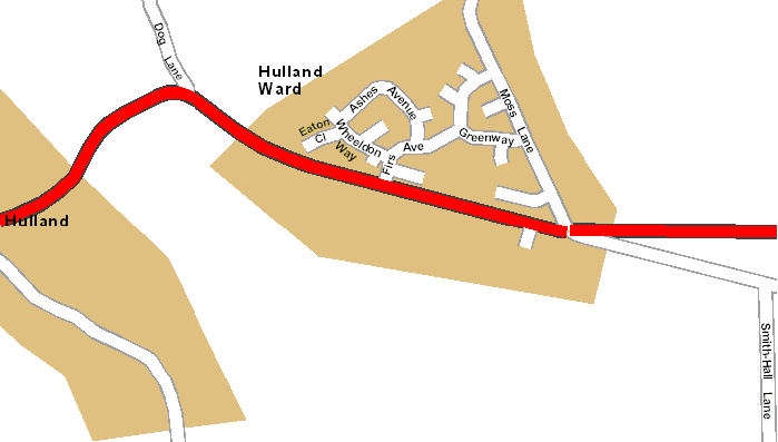
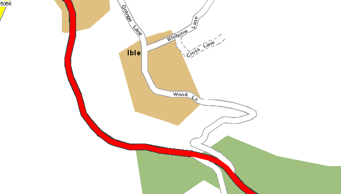
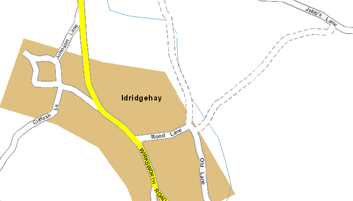
Wirksworth parish is in the centre of Derbyshire. Surrounding parishes
in 1800 were Cromford, Crich, Heage, Belper, Hazelwood, Duffield, Turnditch,
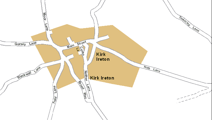
Hulland Ward, Hulland, Kirk Ireton, Hognaston, Carsington, Brassington,
Aldwark, Winster and Bonsall.
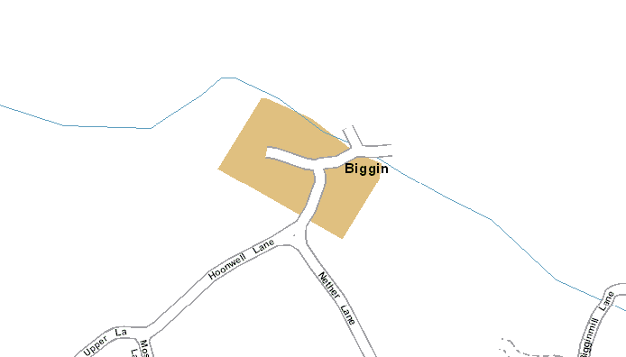
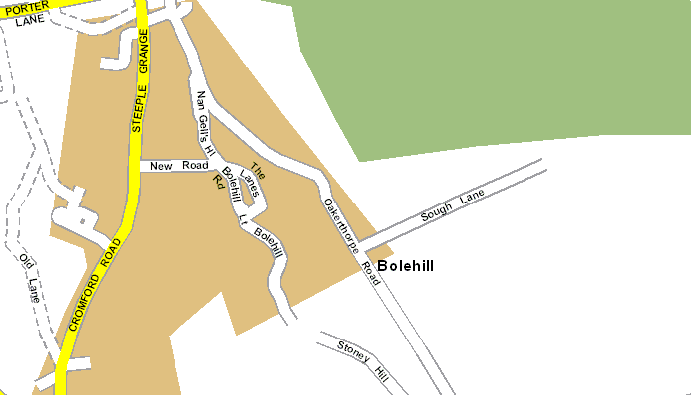
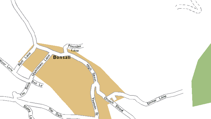
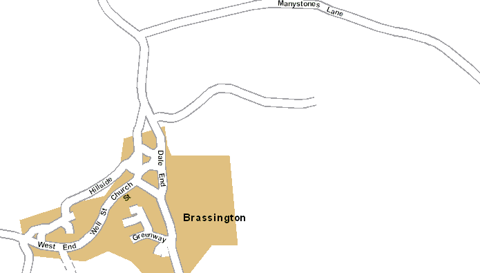
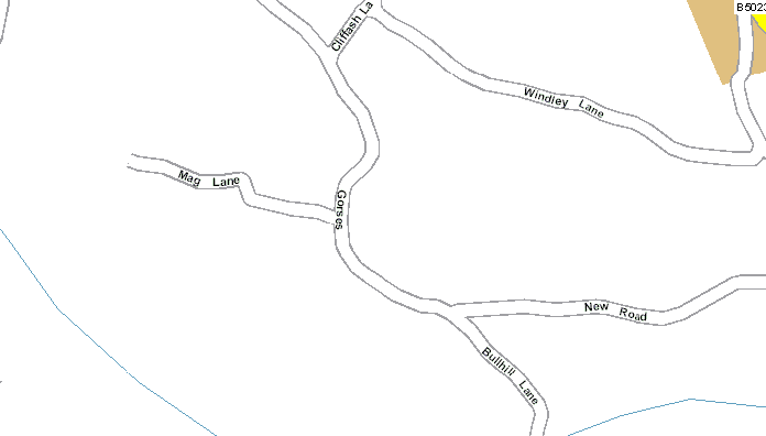
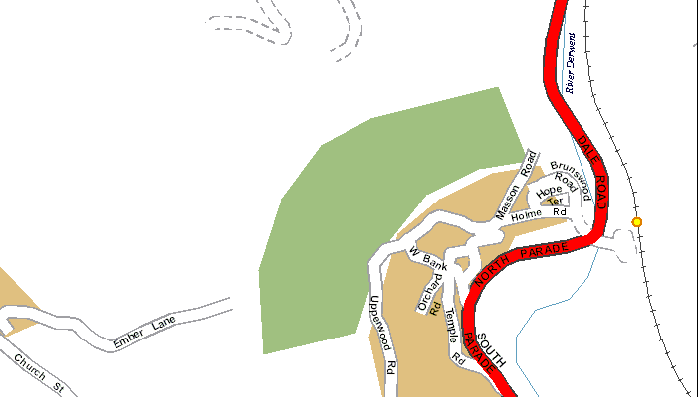
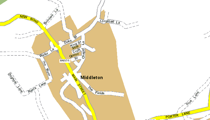
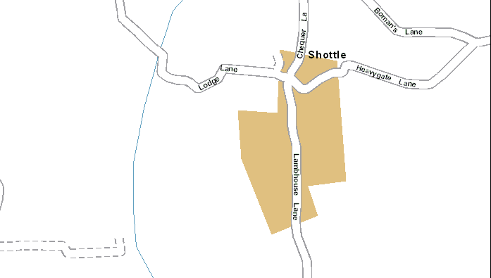
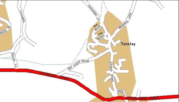
Click on the centre of places to see a street plan: