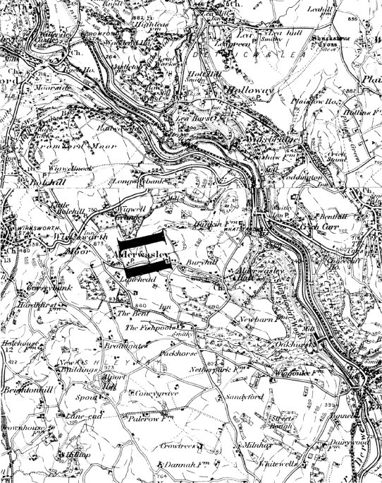
The Village Atlas is a series of composites of historical ordnance
survey maps reproduced at a scale of 2" to the mile. They cover five
areas -- London, Birmingham and the West Midlands, Derby, Leicester
and Nottingham, Leeds, Sheffield, and York, and Lancashire and North
Cheshire. Each Atlas covers an area of approximately 1500 square
miles, divided into 50-square mile blocks. Three maps for each block,
printed on consecutive double-page spreads, allow the reader to study
the changes which took place within the area covered at the turn of a
page.
For more information on
The Village Atlas and the other ranges of
quality reproduction maps and prints available from
Hampden Maps,
visit
www.village-atlas.com
or email
info@village-atlas.com
|
 .
All Rights Reserved.
.
All Rights Reserved.