Updated 27 Jun 2002

WIRKSWORTH Parish Records 1600-1900

Return to Front Page

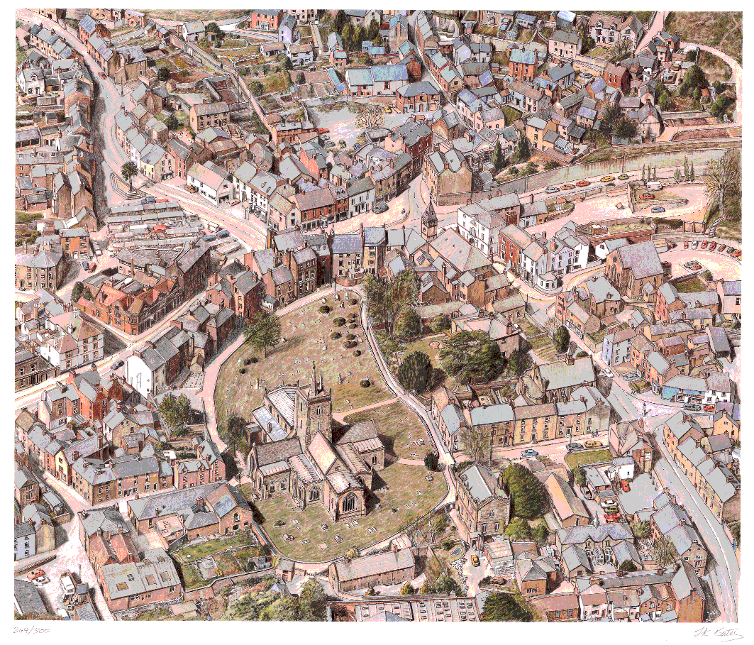
Street map of Wirksworth


Click on the circled numbers to see a drawing of the buildings there.
Or go to Index of Buildings
Or see an aerial drawing of the town centre (440k)

Street Map of Wirksworth town centre
1=West End 1,3,13 & Cook's Yard 1=West End 1,3,13 & Cook's Yard 2=West End 15-25 3=West End 29-45 4=West End (Cherry Tree House) 5=West End 10, Blacks Head PH 6=Market Place 2-6, Heritage Centre 6=Market Place 2-6, Heritage Centre 7=Market Place 6-11 8=Market Place 6,7 9=Market Place 12,13, Dale House 10=Dale End 11=Greenhill 35,Babington House 12=Greenhill 6-15 13=Greenhill 1,3, Hopkinsons House 14=Market Place 15, Symonds House 15=Red Lion Inn, The Vaults PH 16=The Old Manor House 17=The Manse 18=Coldwell St 10-14 19=Coldwell St 6, Baptist Church 20=Town Hall and Library 21=Milepost 22=Market Place 22, Library 23=Market Place 23-27 24=Lych-Gate 25=St Johns St 1-5-13 26=St Johns St 15-25 27=St Mary's Gate 1-5 28=St Mary's Gate 6-8 29=St Mary's Gate 8-12 30=Parish Rooms 31=Holland Manor House 32=St Mary's Gate 20, & 31 33=St Johns St 35,37 34=St Johns St 41-47 35=St Johns St, Methodist Church 36=St Johns St 51-57-59 37=St Johns St 32-42 38=St Johns St 28, Foggs Entry 8 39=Waltham House 40=St Johns St 8a-14 41=St Johns St 6, Lloyds TSB Bank 42=Lloyds Bank - Causeway 14 43=Causeway 7-11 44=Causeway 16, St Johns St 2 45=Hope and Anchor Pub 46=Market Place 47a=Chapel Lane, New Moot Hall 47b=Chapel Lane, New Moot Hall A=Parish Church of St Mary Ai=T'owd man (inside church) B=Rear of St Johns St 1-5-13 C=Rear of Market Place 23-28 D=Rear of Market place 20-22 E=Rear of Library & Town Hall F=View East down North side G=The Old Grammar School H=Almshouses of Anthony Gell

Compiled, formatted, hyperlinked, encoded, and copyright © 2002, . All Rights Reserved.