Photo taken early 1900s

Photo taken c1905. Looking eastwards along Yokecliffe. A lead vein
called Yokecliffe Rake ran from Wirksworth to Brassington near
here and there were many old mineshafts in the area. The largest was
Yokecliffe Mine.
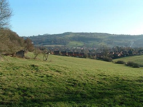
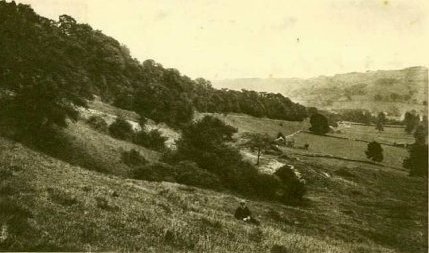 Photo taken 2003


Postcard showing Yokecliffe, Wirksworth
The view from the top of Yokecliffe, from a postcard. The road in the left foreground is Yokecliffe Lane. Gilkin and Breamfield are on the extreme left, the hamlet of Gorsey Bank on the right and the Meadows and Water Lane are in the centre of the picture. Today most of the fields to the centre and right of the picture are full of houses, built since the First World War. The town's windmill stood hereabouts.
Posted 1910. Addressed to:
Annie Melbourne,
13 Gorsey Bank, Wirksworth.

Maurice Guise writes: |
Dates:
Photo taken:"early 1900s"
Size: Postcard
Source:Internet
Click on photo for enlargement (on CD only)
Have any more information about this photo?
Please e-mail the author on:
